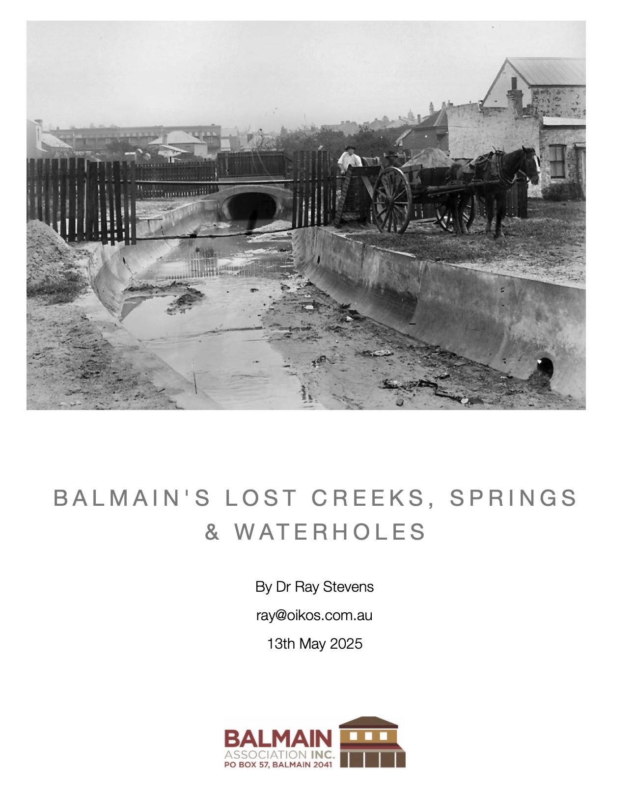
One of the reasons Balmain was settled in the early days of the colony was the abundant supply of fresh water from small creeks, springs, and waterholes. Several of these creeks had names like Killiaspy’s Creeks, Hutton’s Creek, First Creek and Curtis’ Water Holes. They supplied Balmain residents with free fresh water and even formed the boundaries of property lots. The early subdivision plan allowed ready access to these waterways and to the surrounding harbour. Balmain even had bridges over some of the creeks.
Download Balmain’s Lost Creeks, Springs & Waterholes.
© Oikos Architects – Dr Ray Stevens, 2025.
The author can be contacted at: ray@oikos.com.au

Watercourses are shown on the 1852 subdivision of Balmain by C. E. Langley, but with no names. The names of the creeks are included here from the earlier survey by John Armstrong, ca. 1847.


